See the Property in 3D
A finished review handed you flat sheets and a flat map. Now flip the map to 3D and the property stands up in its real neighborhood.
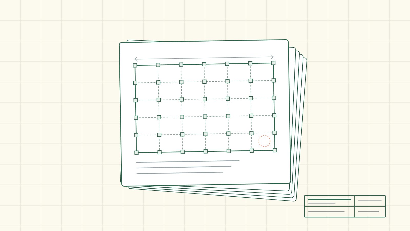
A permit set is a stack of flattenings.
The site plan is the property seen from straight overhead, its hillside pressed out of it. The elevations are the walls peeled off and laid flat, one at a time. Sections cut the building open and stand the slice on the page. Every sheet is a careful, deliberate way of squashing a three-dimensional place onto paper you can print and stamp.
It works. It's how permits have always been drawn. But there's one thing the paper can never quite hand you: the property standing up. The grade that decides where the water runs. The neighbor's roofline that governs the view. The way a setback that reads as a clean number on the site plan actually sits on a slope.
For a long time a completed review came with a map of the site, too — a flat basemap, Street or Satellite, the parcel outlined on it. Useful. Still a place seen from directly above.
Now there's a third button.
Flip the map
On the site map inside a finished review, the toggle reads Street / Satellite / 3D. Click the small cube marked 3D and the flat map falls away — and in its place is the actual property, rendered as a photorealistic 3D world. Real relief. Real neighbors. The real rooflines next door. And the subject parcel outlined in yellow on the ground, so you always know which piece of earth the review is about.
You can orbit it. Tilt it. Zoom in, pan across, and when you've wandered off, hit Reset to property to come straight back. A line in the corner gives you the controls without a manual: Drag to pan · Scroll to zoom · Right-drag to tilt. One more button takes the whole thing full screen.
The point isn't the spectacle. It's judgment. A number on a site plan tells you a wall sits so many feet from the line. The 3D view tells you what that number is up against — whether that line runs uphill or down, what a window there would actually face, how the neighbor's roofline sits on the same slope. It doesn't draw the proposed building for you; it shows you the real ground the proposal has to answer to. Slope, neighbors, and views — the property in space, not just on a flat map.
A completed review used to hand you flat sheets and a flat map. Now it hands you the place.
That's the whole shift, and it's bigger than one more button. This isn't a finding pointing at a line on a drawing, and it isn't the sheet zooming to the spot a finding flags — those live on the paper. This is the ground the paper is about, standing up, where you can walk around it.
Take the slow way around
There's a quieter feature tucked into that controls panel. Press Orbit and the camera lifts into a gentle, bounded tour of the property — a couple of minutes, no more — and when it's done, it doesn't dump you at some default overhead shot. It eases you back to the exact view you were on when you pressed it. The button even tells you where you are in the arc: it reads Stop orbit while it's moving, Returning to your view as it settles.
It's a small kindness, the kind of thing you only notice by its absence. You lined up a view you liked. You wanted to see the property turn. You get both, and you land back where you started.
Reliably there, and sharp
Two recent bits of work made the 3D view something you can count on rather than stumble into.
The first is simple: it now shows up on any completed review with a real address. It used to appear on some finished reviews and not others; the ones that missed it, older ones included, were brought in. So when you open a finished review, the 3D button is right there — as long as the property has a location to stand it on.
The second you can see the moment you look. The view used to render smaller than the screen and get stretched to fill the map, which softened the whole picture — a place blurred by being blown up. That's fixed. It now renders at the map's full size, so the neighbor's roof and the parcel line and the grade all come in crisp instead of smeared.
A view, not a survey
Two honest notes, because a tool that lives on getting the code right earns trust by saying what it isn't.
Coverage depends on the area. Detailed 3D imagery doesn't exist everywhere, and when it doesn't for a given property, the map says so — "3D imagery is not available for this property" — and quietly drops back to Satellite. It doesn't fake a place it can't show you.
And it is a way to see the property, an aid to judgment — not survey verification. It'll show you that a setback runs downhill and what the massing does to a view; it won't certify a dimension. Anything that carries code stakes, confirm it with your local jurisdiction. A finding is a flag to verify, not a ruling; a 3D view is a place to look, not a stamp.
The place, standing up
Here's what actually changed. A finished review used to be a list and a stack of flat sheets — a careful set of flattenings, and a map seen from above. Now it also hands you the property itself: the real ground, the real slope, the real neighbors, the yellow outline of the parcel sitting exactly where it sits. You can turn it in your hands before you decide anything.
The plan set will always be the thing that gets stamped. But the place it describes doesn't have to stay flat on the page anymore.